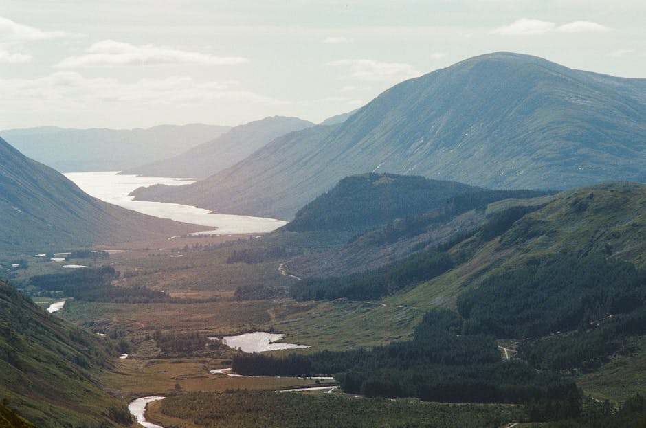
Gawilgarh Hills (Madhya Pradesh), flows west between the Satpura Range, across the Jalgaon plateau (Maharashtra), through Surat (Gujarat), and into the Gulf of Khambhat (Arabian Sea).
Length and Drainage: Approximately 700 km long, draining 65,145 sq km.
Basin Features: Located in the Deccan plateau, bounded by the Satpura and Ajanta Ranges. Primarily agricultural land.
Relation to Narmada: Flows roughly parallel to the Narmada River, separated by the Satpura Range, forming a natural barrier between northern and peninsular India.
Major Tributaries: Purna, Girna, and Panjhra (flowing from the south in Maharashtra).
Ukai Dam: A significant hydroelectric project on the Tapi River.