- Myanmar Earthquake Cause: Recent earthquakes in Myanmar are attributed to strike-slip faulting along the Sagaing Fault.
- Tectonic Boundary: The Sagaing Fault 47.8C117.2 448 288 448 288 448s170.8 0 213.4-11.5c23.5-6.3 42-24.2 48.3-47.8 11.4-42.9 11.4-132.3 11.4-132.3s0-89.4-11.4-132.3zm-317.5 213.5V175.2l142.7 81.2-142.7 81.2z"/>
Subscribe on YouTube
is a major, active tectonic boundary separating the Indian and Eurasian Plates.
Location and Extent: It runs north-south through Myanmar, stretching 1,500 km from the Andaman Sea to the Eastern Himalayas.
Type of Fault: It’s a right-lateral strike-slip fault, characterized by horizontal movement of fault blocks.
Plate Movement: The northward movement of the Indian Plate causes stress buildup along the fault.
Earthquake Mechanism: Accumulated stress releases energy as seismic waves, leading to earthquakes.
Seismic Activity: The fault is one of the most seismically active regions in Southeast Asia.
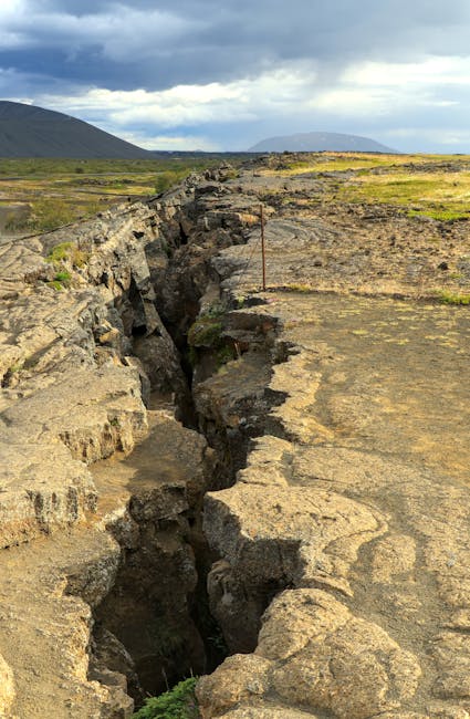
Strike-Slip Faults: Characterized by horizontal movement with minimal vertical displacement, common at transform boundaries.
Importance: Understanding the Sagaing Fault is crucial for assessing earthquake risk in Myanmar and surrounding regions.